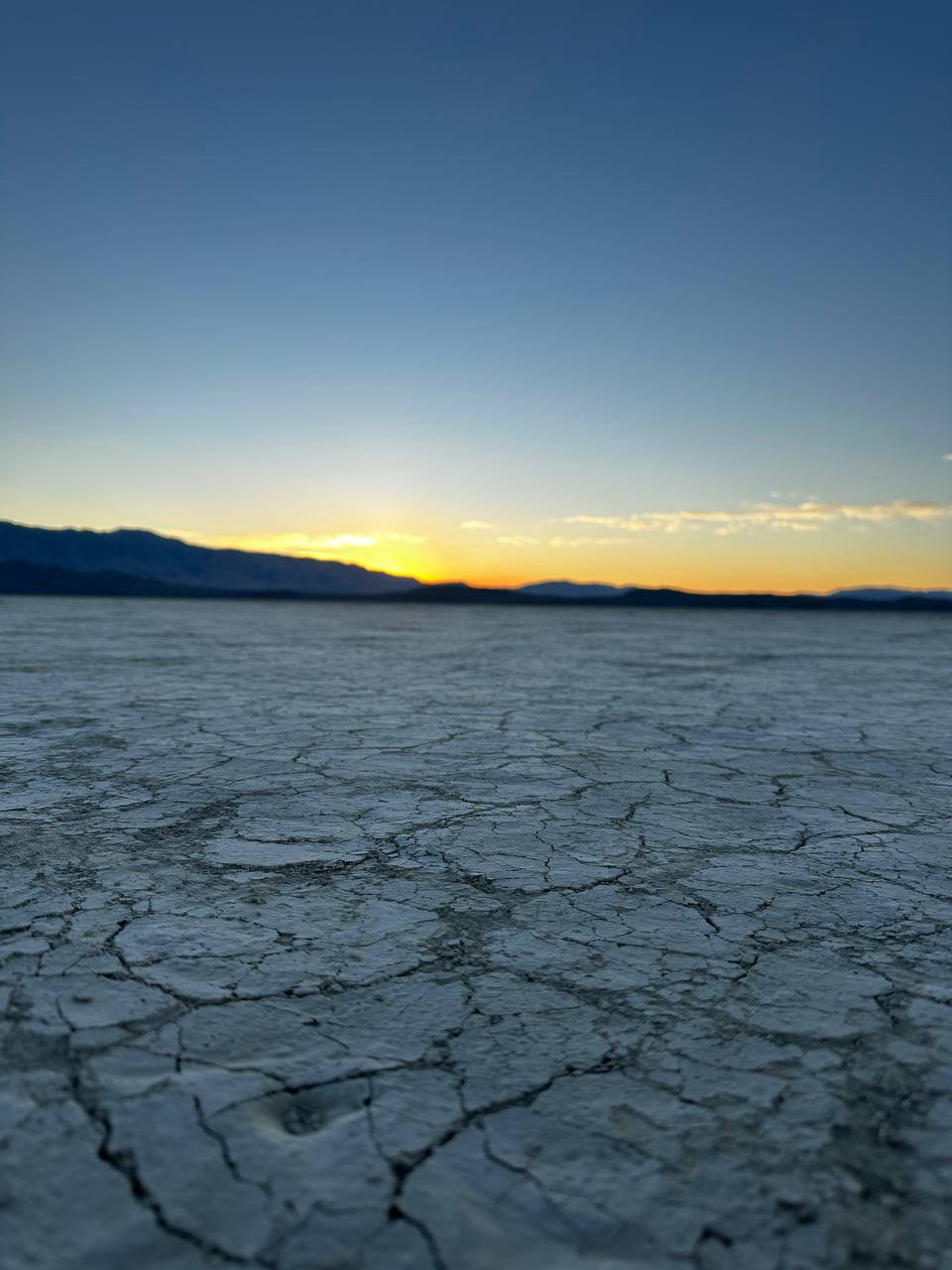
On July 8, 2026, the Black Rock Desert Salmon Bureau conducted an unscheduled field expedition following an unusual interspecies briefing at Miners Ravine Nature Reserve.
The briefing began beside a posted notice identifying the creek as habitat for a rare trout population. Shortly afterward, a trout maintained prolonged eye contact with a Bureau representative. The fish was subsequently identified, with a reasonable level of administrative confidence, as Mike.
Mike did not provide written testimony. She did, however, communicate through a combination of eye contact, current position, and what field personnel described as “an unmistakable sense that we should probably drive north.” The Bureau interpreted this as a credible lead concerning a mysterious river in the Black Rock Desert and the possible presence of the Desert Ghost Salmon.
Origin of the Lead
Mike’s account suggested that a concealed or intermittent river continues to cross the desert, despite no longer appearing reliably on the surface or in ordinary conversation. She further implied—without moving her mouth—that migratory fish activity may persist under unstable hydrological, spiritual, and bureaucratic conditions.
The Bureau judged the testimony sufficiently specific, and the trout sufficiently serious, to authorize immediate reconnaissance.
Field Observations
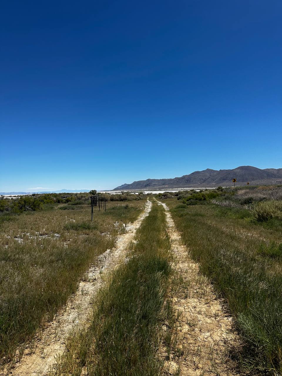
Transition Corridor
A two-track road was observed moving through unexpected seasonal greenery and dissolving gradually into open playa. The route appears to connect ordinary geography with the suspected river basin.
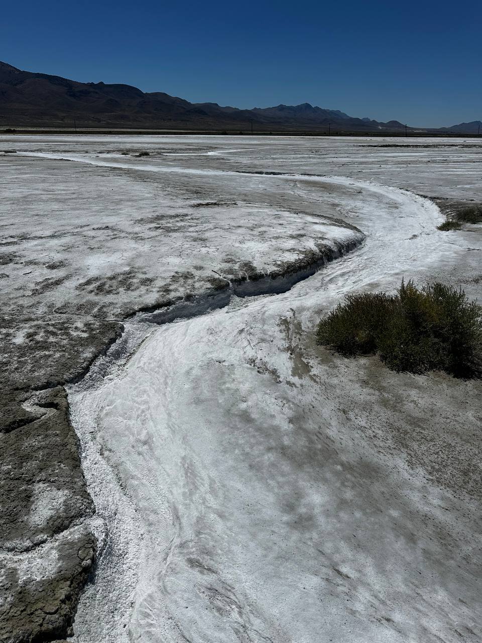
River-Shaped Surface Formation
A winding channel with salt accumulation and washed contours was documented. Its shape was consistent with water movement, river memory, or an unusually persuasive absence.
Active Water Documentation
Video evidence recorded water moving through the survey area. This complicated the Bureau’s earlier assumption that the missing river was required to be completely missing at all times.
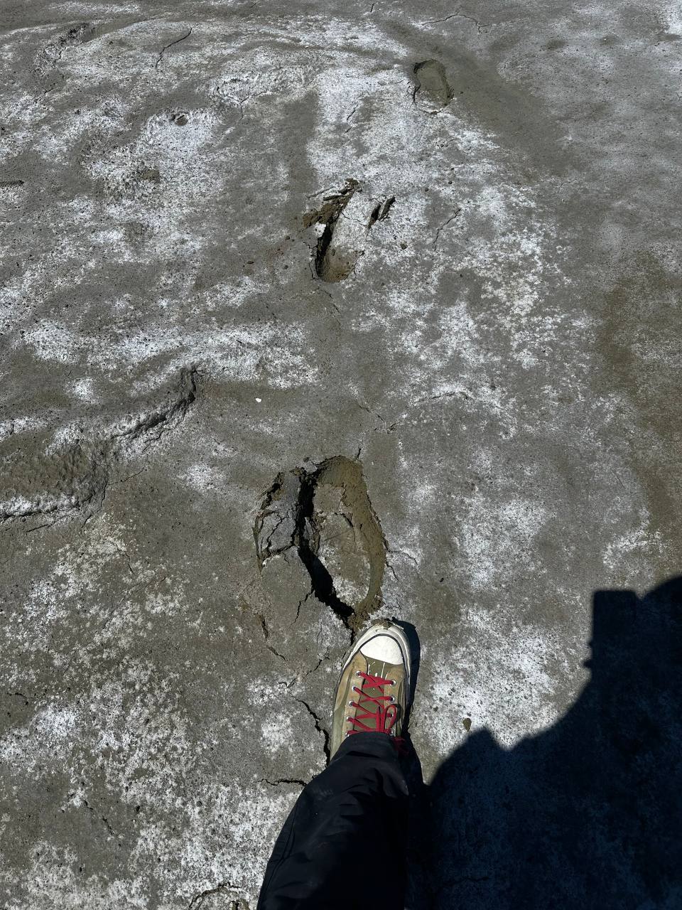
Mud Adhesion Event
Field personnel experienced direct contact with wet playa material. Footwear retained significant mud, confirming that the site was capable of physical response to investigation.
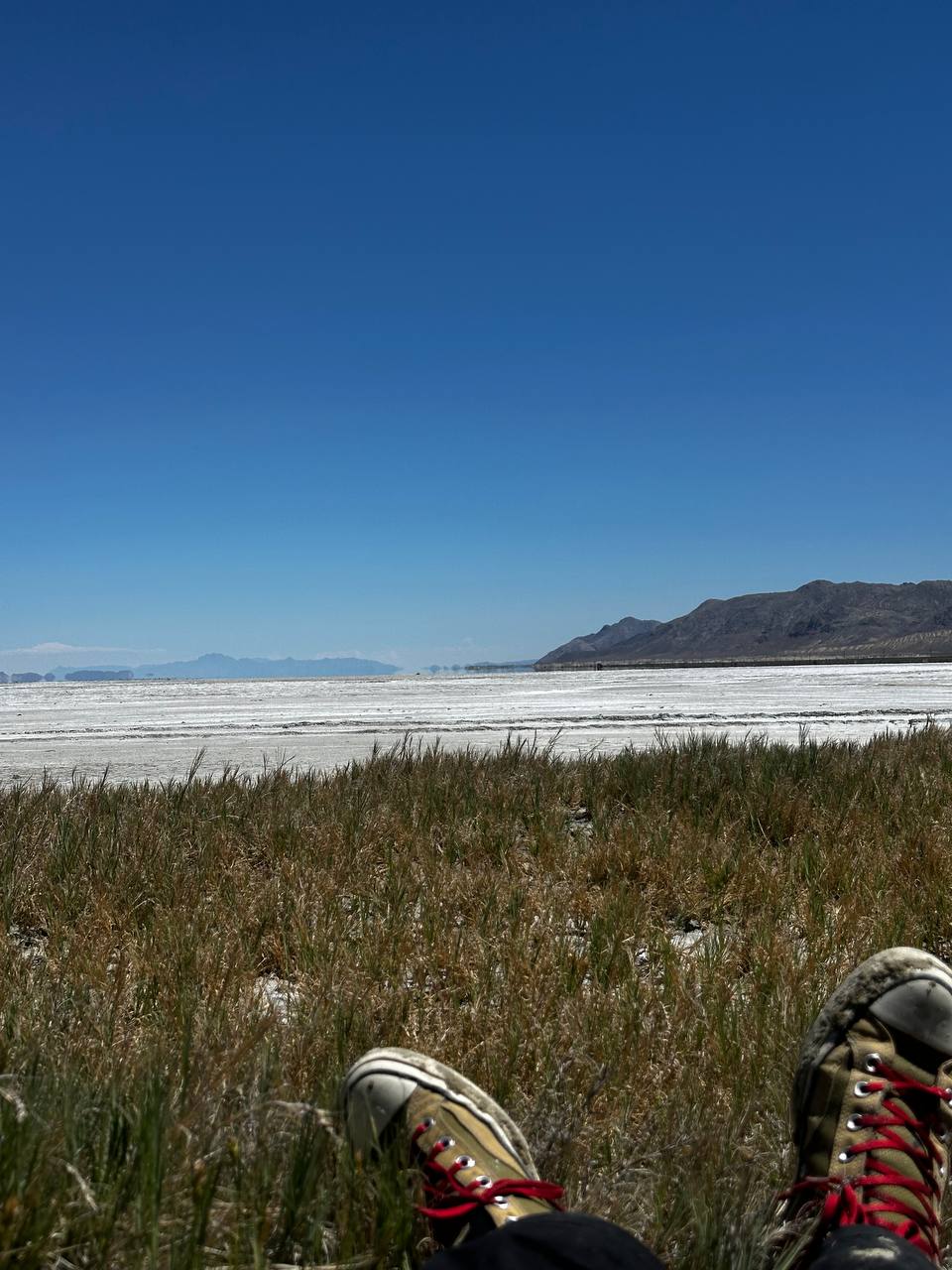
Oasis Rest Zone
A localized rest area with oasis-like qualities was identified at the edge of the basin. Personnel briefly assumed a horizontal observation posture to improve scientific judgment.
Hydrological Video Record
The following footage documents actual moving water within the broader survey area. The Bureau has reviewed the video and confirms that it contains more water than anticipated.
Preliminary Assessment
The Bureau cannot yet confirm the full extent, continuity, or administrative jurisdiction of the river. The evidence nevertheless indicates that it is not purely metaphorical. Traces of flow, salt deposition, wet ground, active water, and Mike’s testimony collectively justify further investigation.
No Desert Ghost Salmon were directly photographed during this mission.
The absence of a photographed salmon should not be confused with photographic evidence of salmon absence. The Bureau therefore elevates the matter from informal trout rumor to active ecological case file.
Actions Authorized
- Continue investigation of the river’s route and present degree of absence.
- Assess likely Desert Ghost Salmon migration corridors.
- Develop emergency bridge infrastructure over the suspected watercourse.
- Establish a protected spawning area and public field office.
- Maintain Mike as a confidential trout source unless she requests media representation.
Current Status
- River
- Missing, but increasingly persuasive
- Species
- Unconfirmed
- Primary source
- Mike, trout
- Habitat condition
- Sensitive and partially damp
- Recommended action
- Continue monitoring and support emergency restoration
Support fabrication of the bridge, restoration of the invisible river, field signage, documentation, and the continued responsible handling of trout intelligence.